Free, localized resources to streamline your livestock facility development and ensure regulatory compliance.
Livestock Planning Tools
Plan Smarter. Expand Faster. Stay Compliant.
Whether you’re launching a new livestock facility or expanding an existing operation, these tools are designed to support better planning, faster decision-making, and easier compliance with North Dakota regulations.
All tools are free to use and tailored specifically to North Dakota producers, developers, and planners.
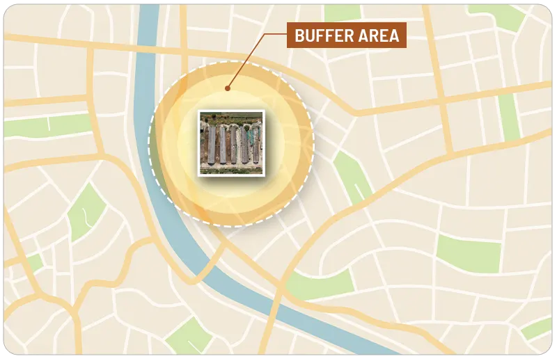
Estimate and visualize potential odor impacts for livestock operations using GIS mapping and buffer modeling.




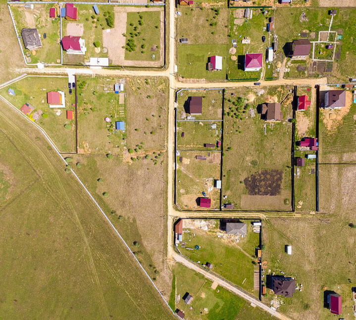
County & Township Zoning Map
Help livestock producers make informed development decisions by combining local zoning information with relevant climate and weather data. This tool supports facility orientation, construction timing, and manure management planning based on location-specific insights.
- County and township zoning map with downloadable overlays
- 10-year wind direction data for odor mitigation planning
- Seasonal precipitation trends for runoff and facility design Considerations
- Climate-informed siting support tailored to local conditions
Livestock Development Guide
A step-by-step guide for planning livestock operations in North Dakota. Includes permitting checklists, zoning tips, and funding options.
Interactive ND Regional Livestock Development and Planning Grant Program Setback ID Map
A one stop shop document for information on infrastructure, permitting, environmental compliance, zoning, and funding options.
Published by: North Dakota Department of Agriculture

Need Help?
Have questions or want to give feedback? Our team is here to support ND agriculture.